A Look At The American West Via The Jefferson Grid
- Name
- Shabtai Pinchevsky
- Project
- The Jefferson Grid
- Location
- United States
- Words
- Rosie Flanagan
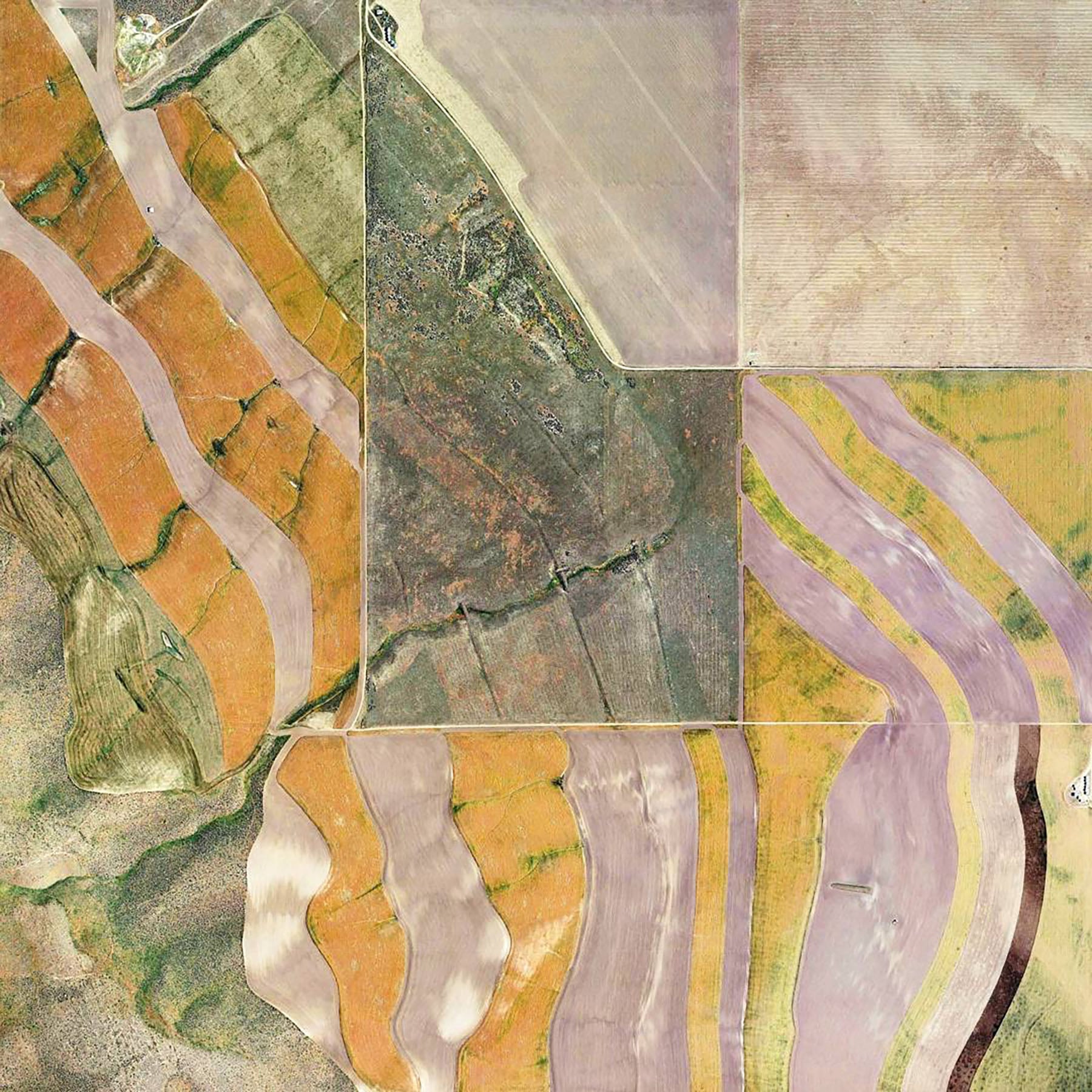
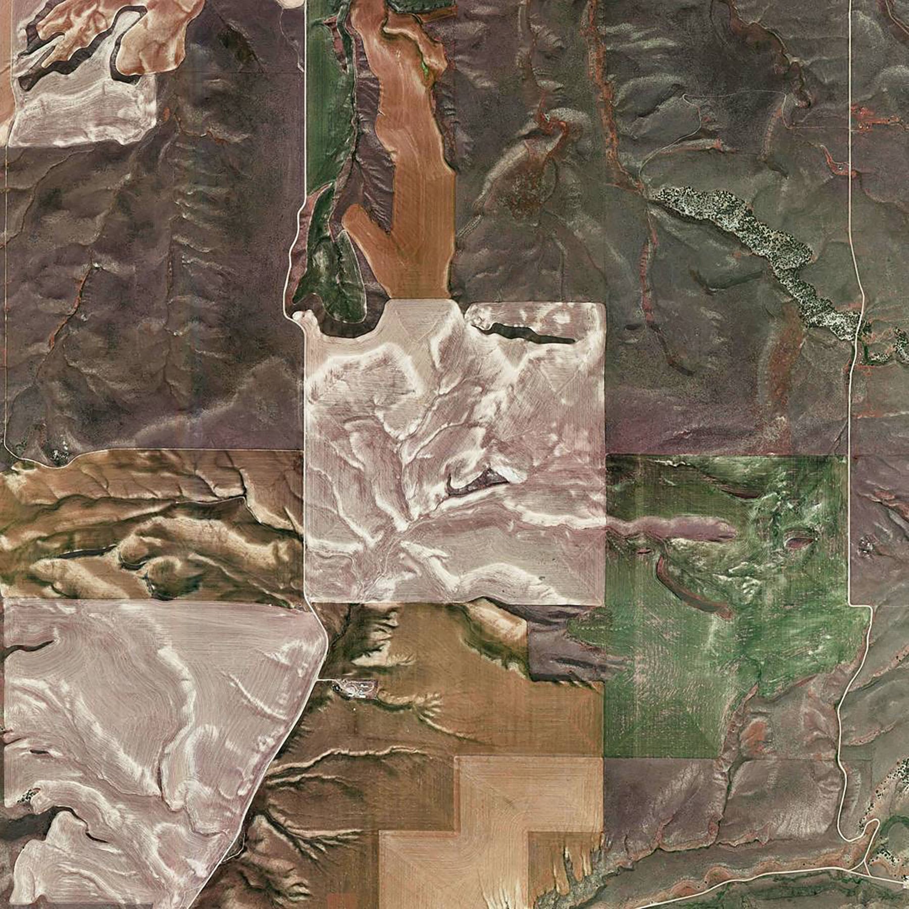
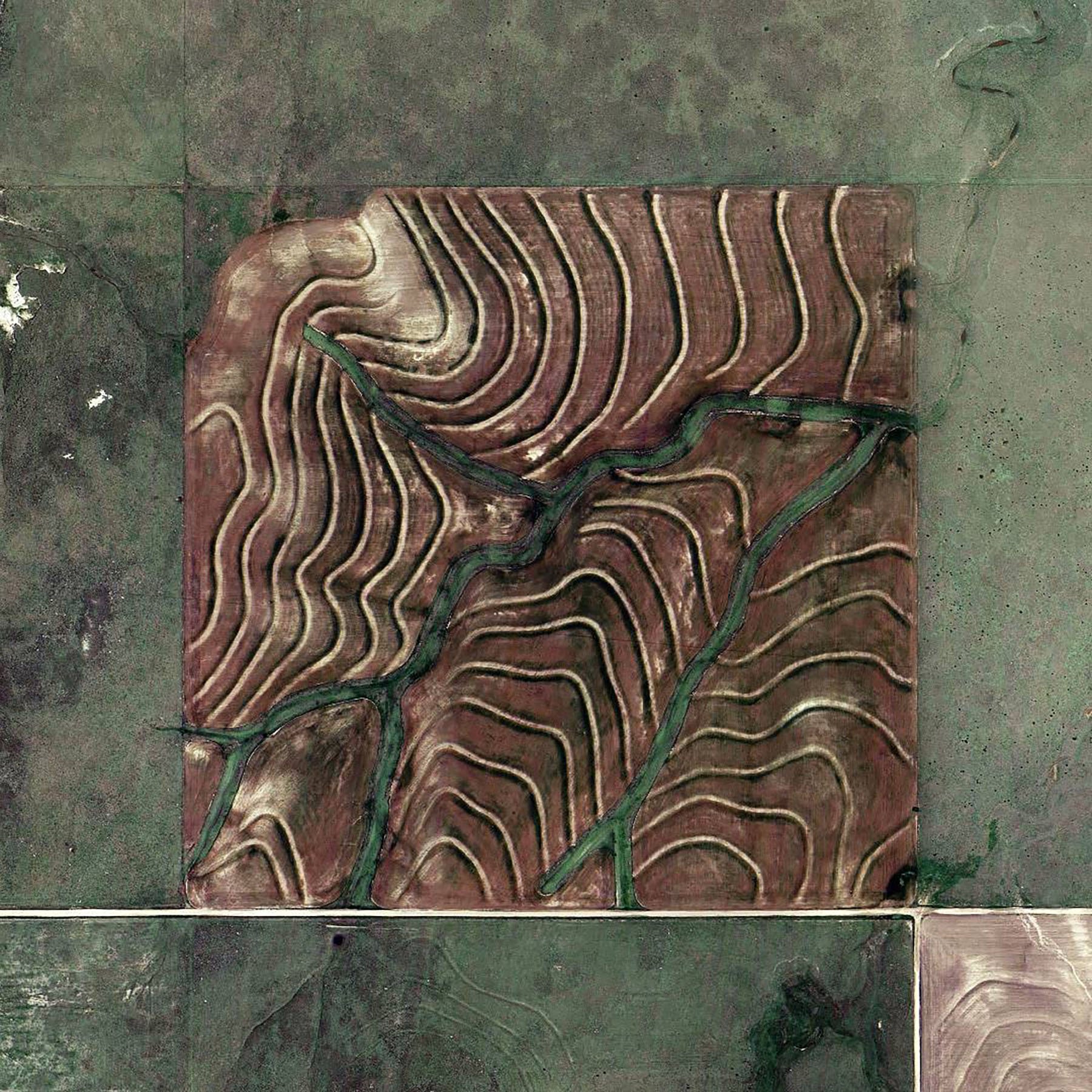
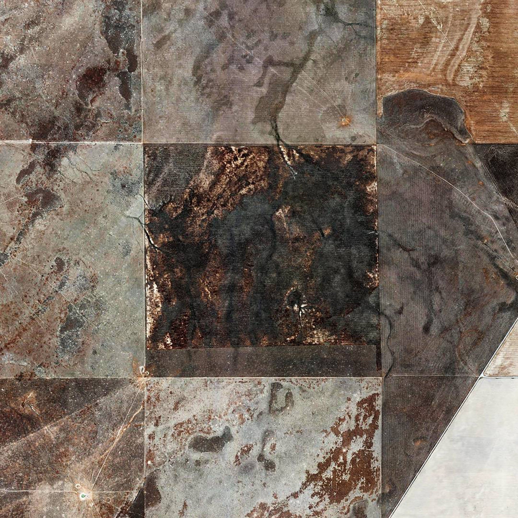
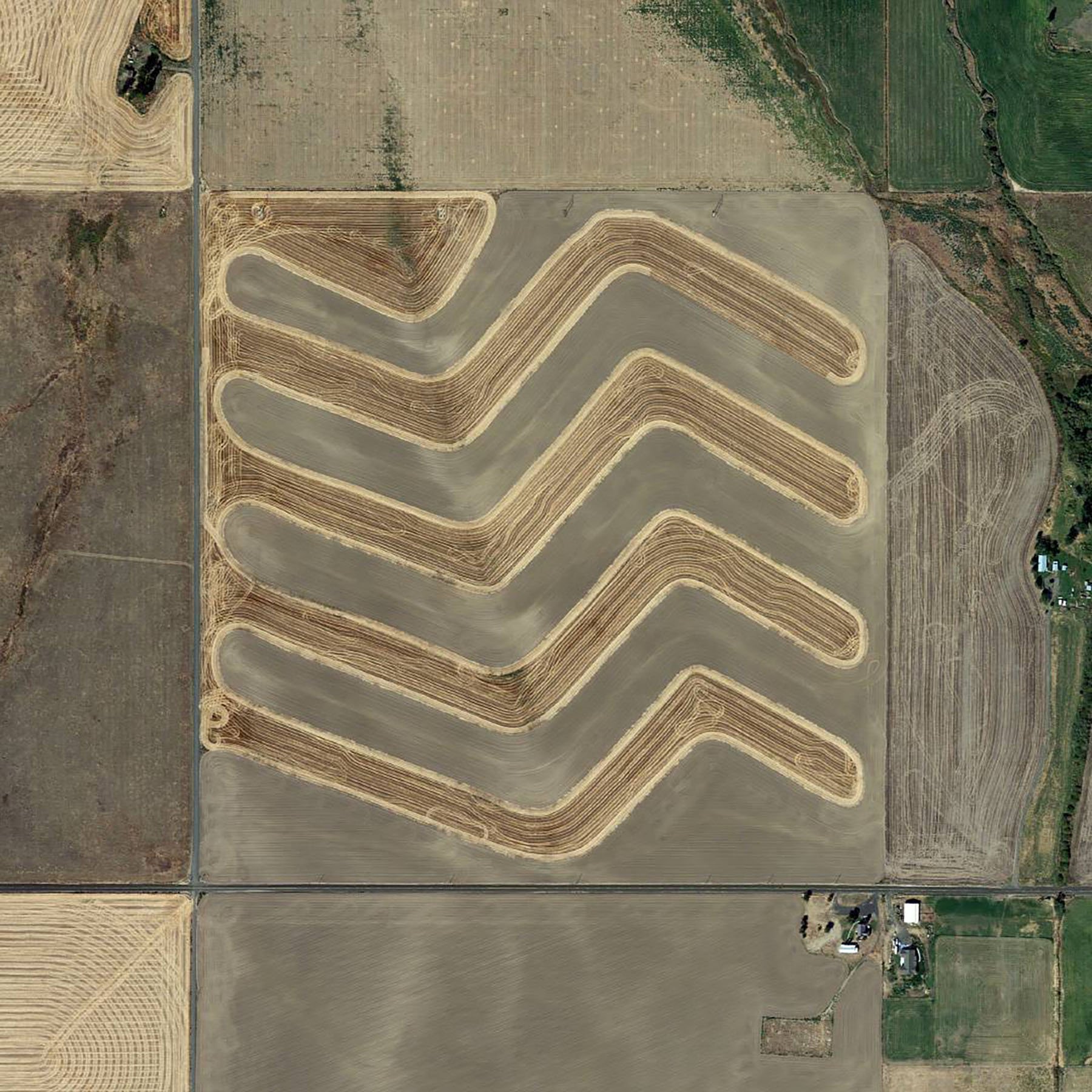
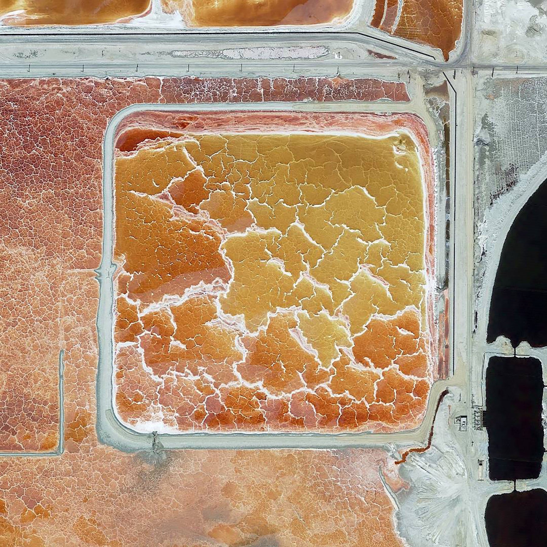
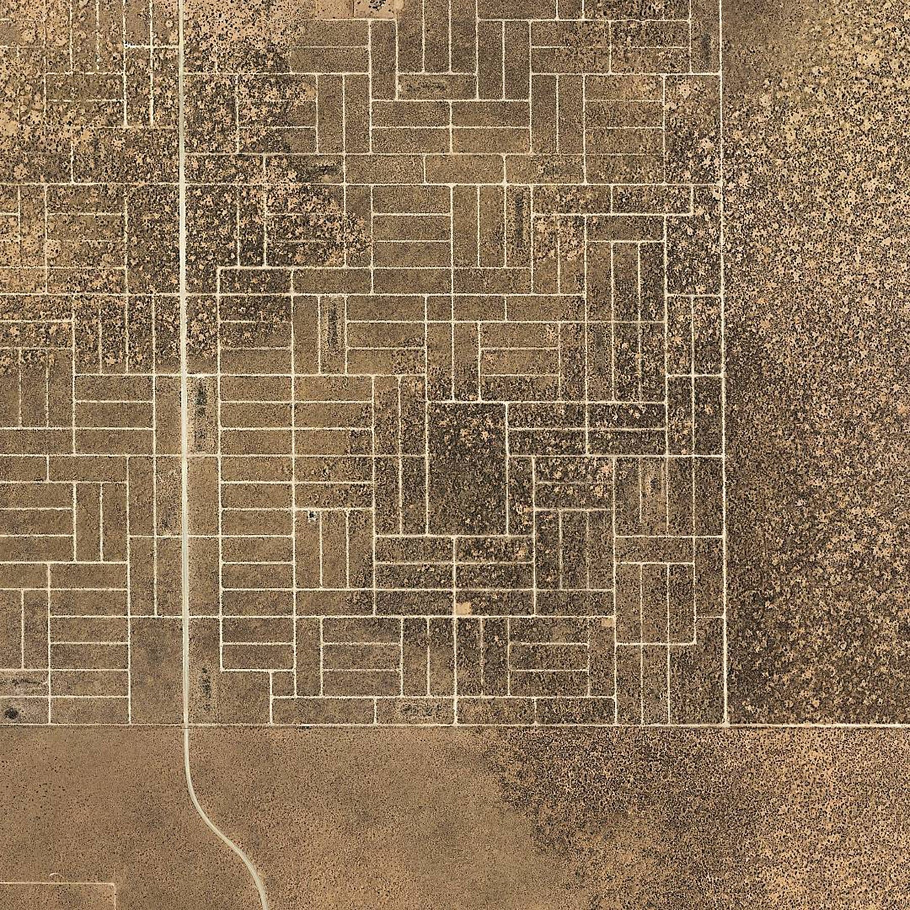
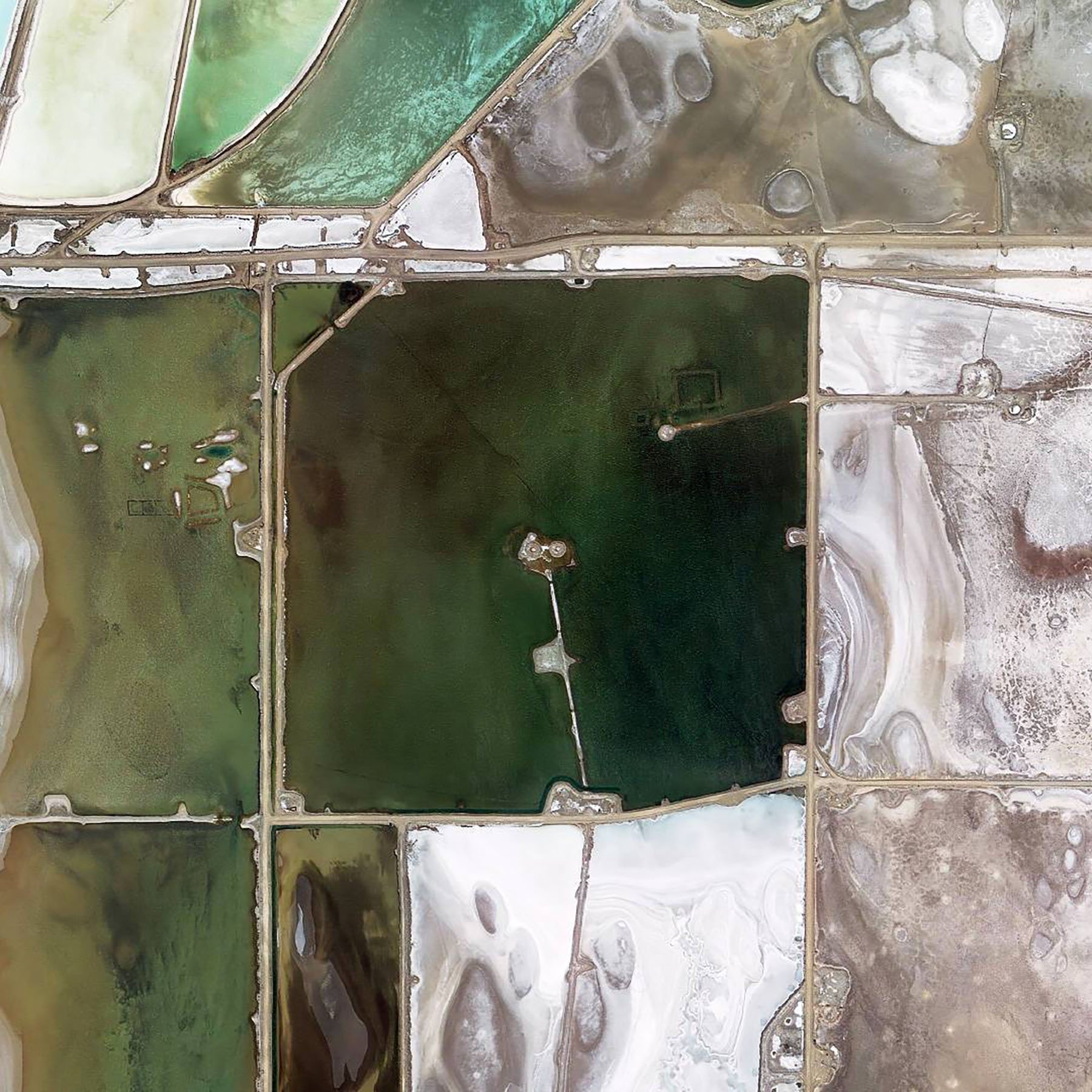
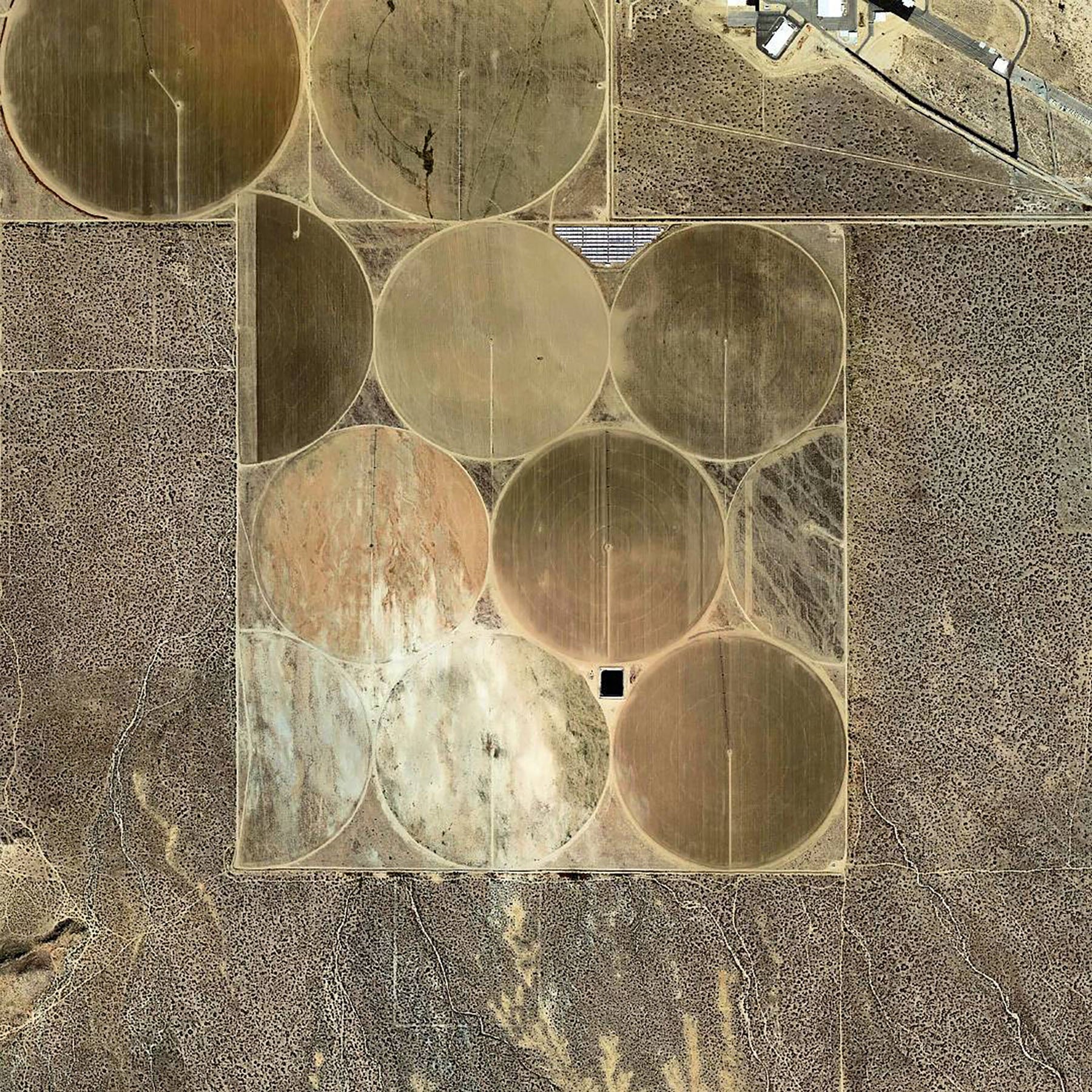
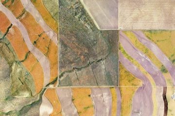
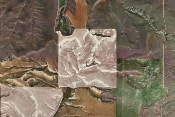
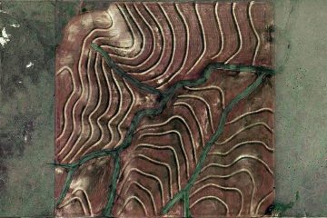
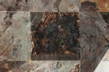
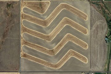
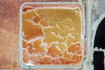
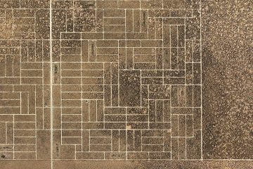
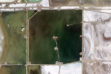
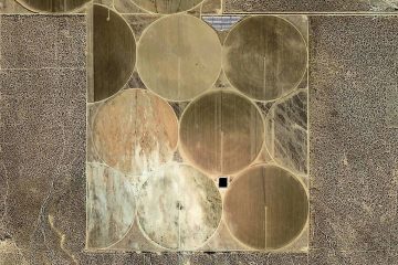
‘The Jefferson Grid’ is a photographic project initiated by Shabtai Pinchevsky. The Jerusalem-based artist has spent the last three years collecting satellite images of parcels of land in the American West that are still defined by this system.
If you’ve ever had the window seat on a flight over America, you may have noticed the way that much of the land folds into a pattern of squares. These squares measure a mile on each side: something that did not occur by happy accident, but because of a planning system proposed by Thomas Jefferson more than two centuries ago. As Pinchevsky explains, “The Public Land Survey System was proposed by Thomas Jefferson at the end of the 18th century, during the expansion of the US westward. It was an innovative method to divide and sell the ownership of large expanses of newly acquired and unknown territories.” Two hundred years on, this very grid — as captured in Pinchevsky’s series — still defines the lay of the land in most of the west of America. You can follow the evolution of this project via Pinchevsky’s Instagram account here.
All images © Shabtai Pinchevsky